ザイオン国立公園内のウェストリムトレイル (West Rim Trail) は全長16.1マイル (26km), 高度差は3624フィート (1105m)です。 The West Rim Trail in Zion National Park is 16.1 miles (26 km) long with an elevation gain of 3624 feet (1105 m).

Appleマップによると9時間39分で歩けるそうですが、実際は10-16時間かかると言われています。逆に、Lava Point からロッジまで北から南に歩くと下り坂なので9-10時間、1日で完歩可能な範囲内です。ただ、高度7,897フィート (2,407m)を考えると、苦しいですよね。健脚向きです。 Apple Maps says the hike will take 9 hours and 39 minutes, but in reality it will take 10-16 hours. Conversely, walking from north to south from Lava Point to the lodge is a downhill hike and should take 9-10 hours, well within the range of a one-day hike. However, considering the altitude of 7,897 feet (2,407 meters), it is a strenuous walk. It is suitable for able-bodied people.

この日、私たちはザイオンロッジからグロットを経て、北に向かい、行けるところまで行って引き返してくることにしました。 On this day we decided to head north from Zion Lodge via the Grotto, going as far as we could go and turning back.

上の写真の景色を過ぎて、渓谷内に入ると、ビッグホーンシープが向かいの岸壁からこちらを見ていました。以下、ビデオです。 As we passed the view in the photo above and entered the canyon, a bighorn sheep was watching us from the opposite cliff. Here is the video
このトレイルは有名なエンジェルスランディングへいく道でもあります。 This trail is also the road to the famous Angel’s Landing.

ここは事前に申し込んで、抽選によって許可証がもらえた人たちだけが Scout Lookout から南下して行ける場所です。非常に人気があるので、私たちは未だに行った事がありません。 Only those who apply in advance and receive a permit by lottery can go south from Scout Lookout. It is very popular and we have not been there yet.
下の写真に示しているBig Bendからは、カリフォルニアコンドルが観察できる場所で有名です。 From Big Bend, shown in the photo below, is a famous place where California condors can be observed.

そんな分岐点を過ぎて北に向かい、下の図に示した折り返し点まで行きました。右上の方には、ザイオンのバスの終点があります。そこからさらに歩いていくと、有名な The Narrow という渓谷に行く事ができます。ここも人気スポットです。 After Angel’s landing turnoff, we headed north to the turn back point shown in the map below. In the upper right corner is the end of the Zion bus line. From there, you can walk further to the famous Zion Narrow’s canyon. This is another popular spot.

下の写真では、ザイオン渓谷を中世代から削り出してきたバージンリバーがうねうねとカーブして流れているのが見えます。ここがまさにザイオン国立公園の奥の景色です。 In the photo below, you can see the Virgin River, which has been carved out of Zion Canyon from the Mesozoic Era, undulating and curving its way through the valley. This is truly the landscape of Zion National Park.

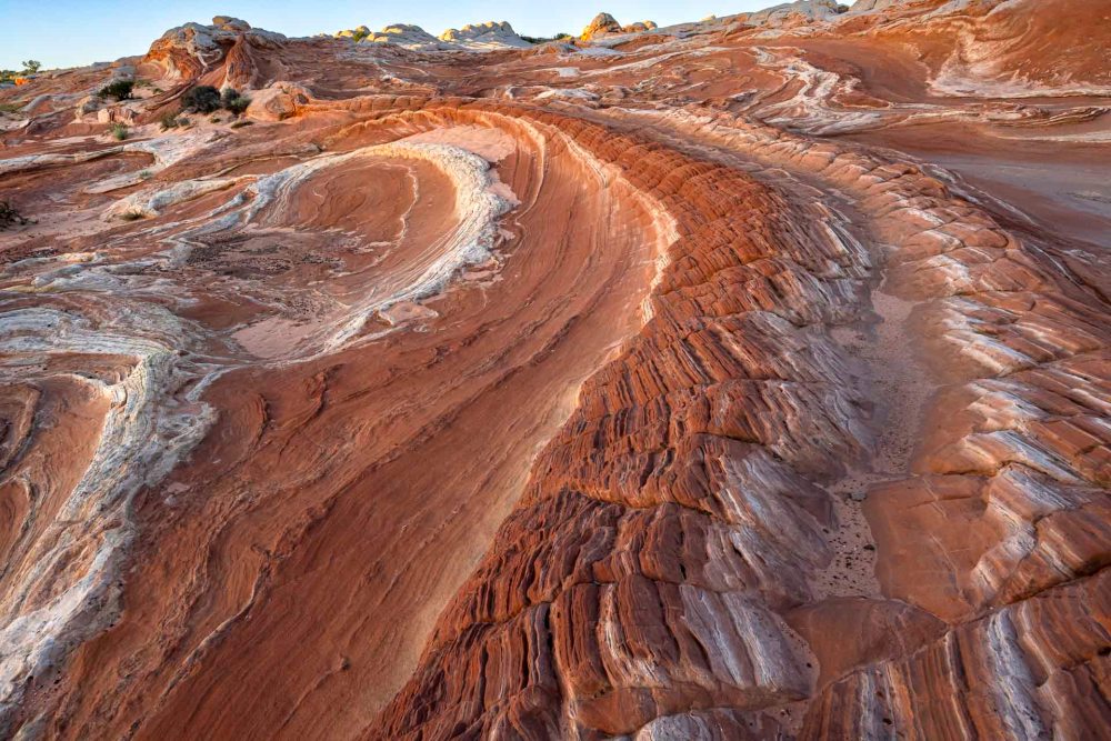
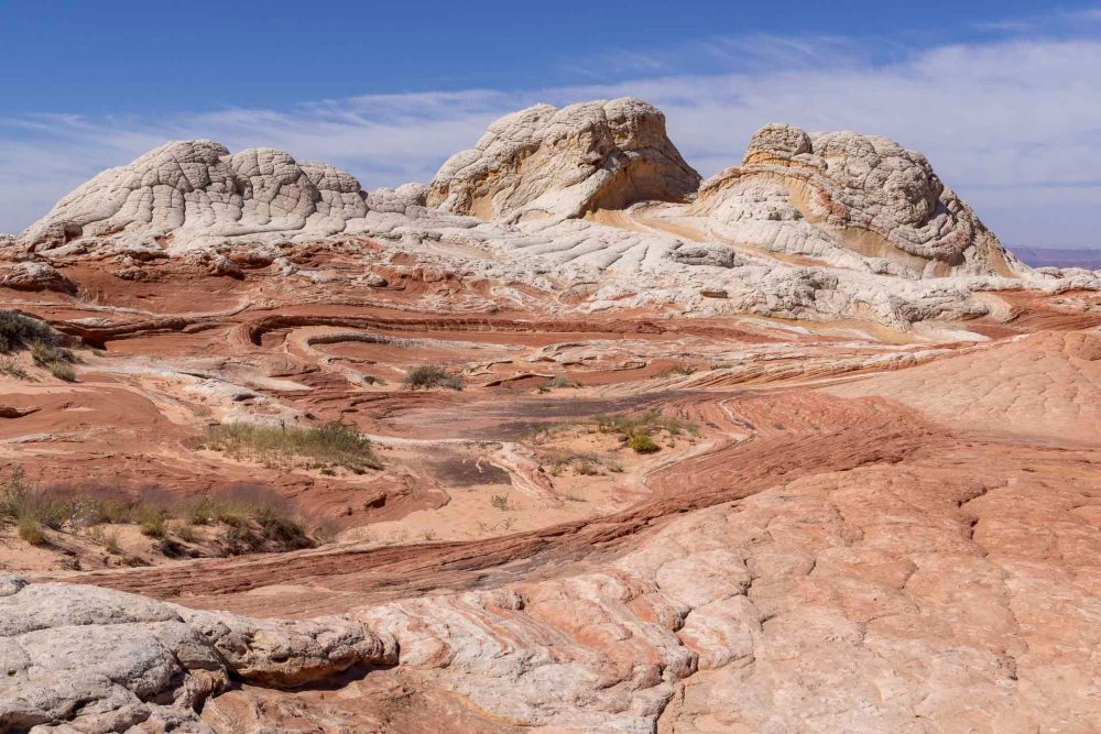
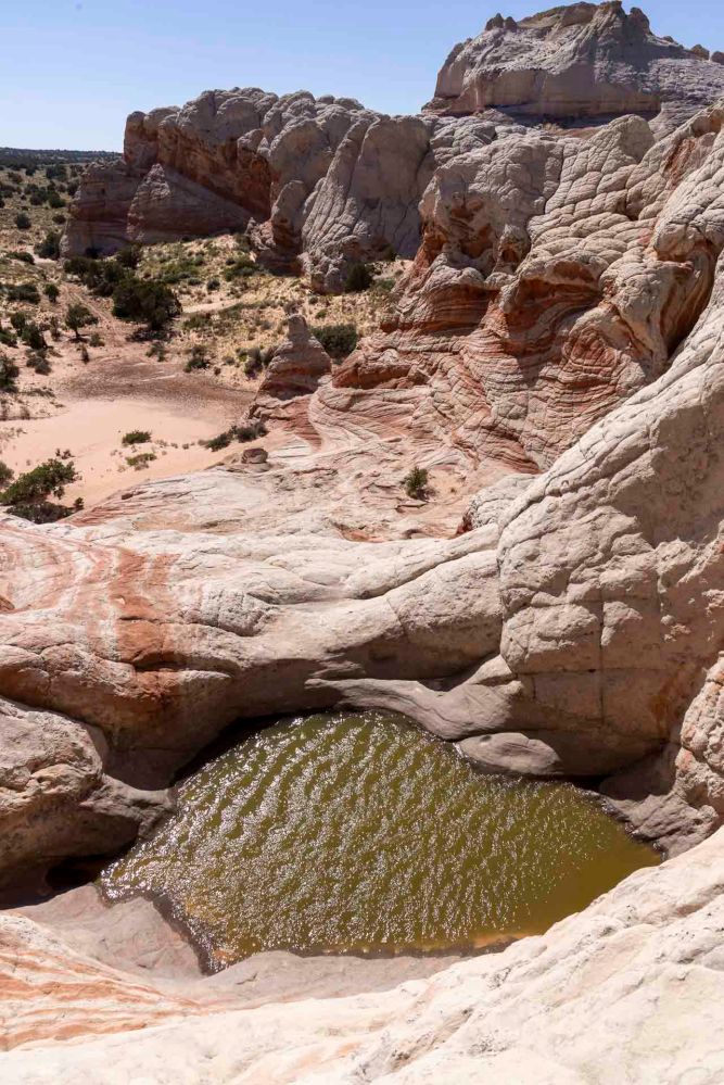
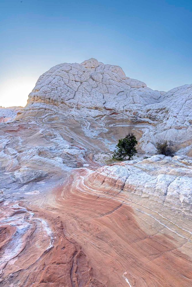
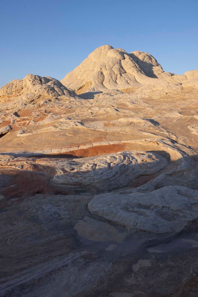
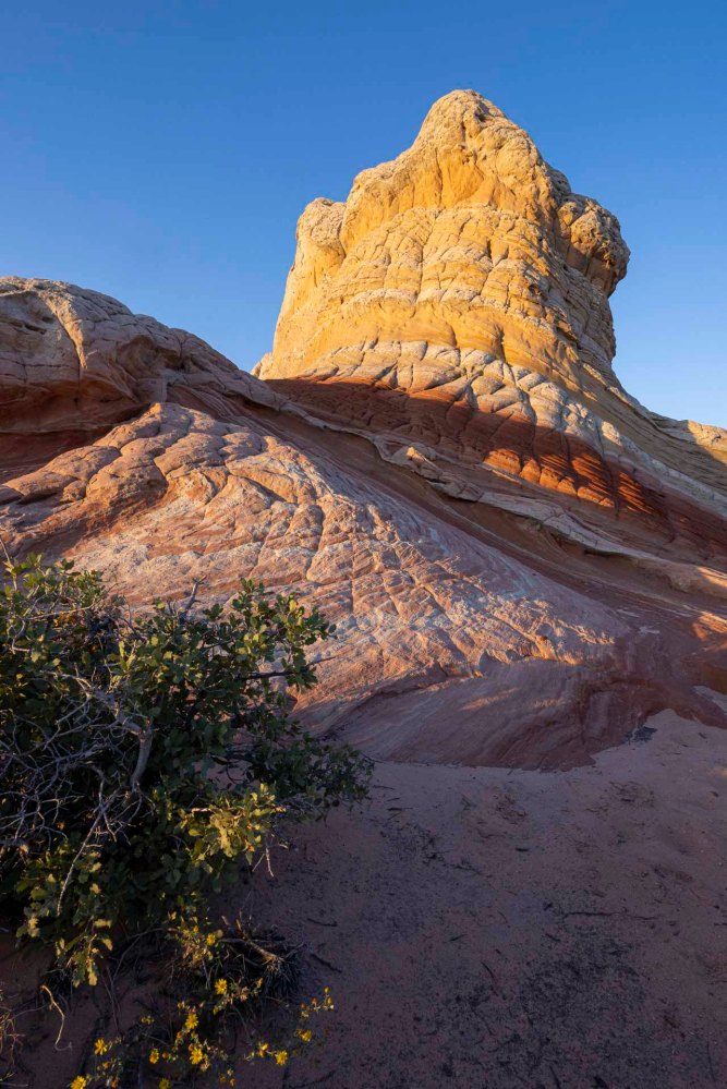
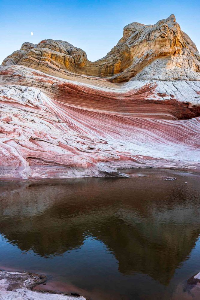
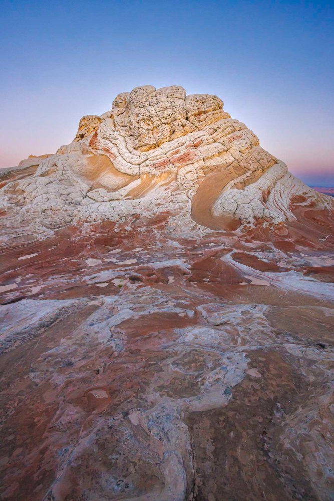
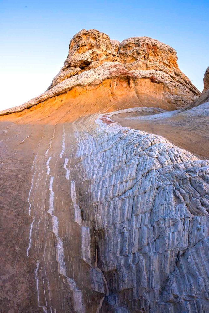
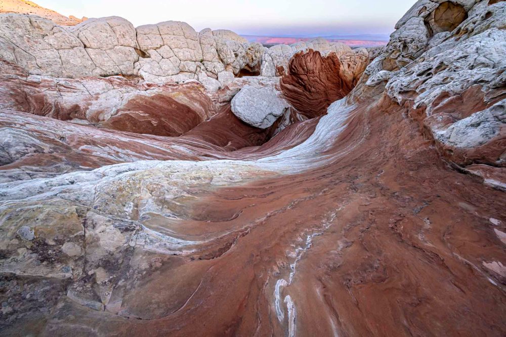
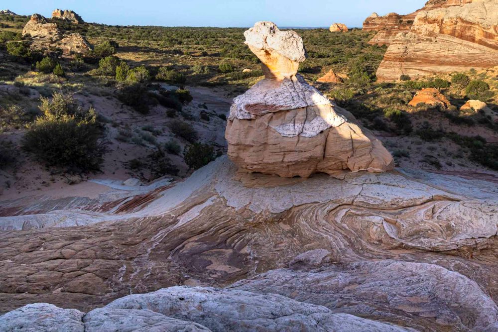
ナバホ砂岩層の上方部は大抵白いです。ところが、下に下がると赤茶色なっています。その理由は、砂岩層内の鉄分の酸化によって変色しているわけですが、雨が砂岩層の中に浸透することにより変色した鉄分は下に移動していった。だからナバホ砂岩層は下の方が赤茶色なのだと聞いています。 The upper part of the Navajo Sandstone Formation is usually white. However, the lower part is reddish brown. The reason for this is that the discoloration is caused by the oxidation of iron in the sandstone layer, and as rain permeates the sandstone layer, the discolored iron migrates downward. This is why the Navajo sandstone layer is reddish brown at the bottom.

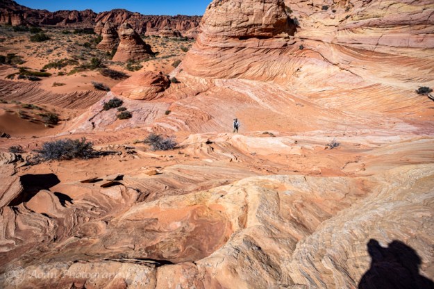
ここから先、終点のラバポイントまではまだ10-12時間かかると言われているので、人の量もグッと少なくなり、トレイルもゴツゴツとした険しい道になりました。 From this point on, the number of people decreases dramatically and the trail becomes more rugged and steep, as it will still take 10-12 hours to reach the end of the trail at Lava Point.

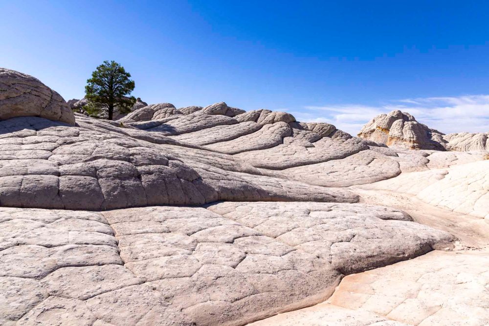
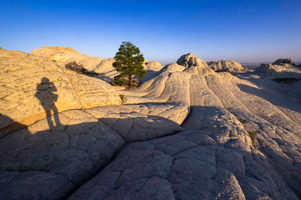
でも、景色は更に素晴らしくなって行きました。 But the scenery became even more spectacular.

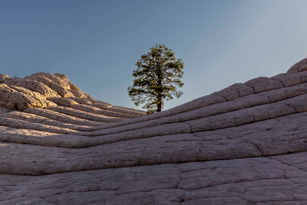
そこには、なんとも言えない心地よい神秘的な空気が漂っていました。 There was a pleasant, mysterious air that was indescribable.
今まで一度も感じたことのない、まるで「お帰りなさい」と言われているような優しい景色に包まれていました。 I had never had such a feeling, as if I was being welcomed home.

バンちゃんも私ももう少し先まで行ってこの不思議な気持ちを確かめてみたいと思っていましたが、帰りの道のりを考えて断念しました。氷った地面も所々で見えていたし、気温も下がって来ていました。 Both Banchan and I wanted to go a little farther to check out this wonder, but we decided against it for the return walk. Ice on the ground was visible in places and the temperature was dropping.

全体の行程に比べるとほんの3分の1までしか歩けませんでした。 We walked only a third of the entire route.
歩行時間: 5:07, 往復歩行距離: 9.45マイル (15.2km), 高度差: 2,297ft (700m)
Walking time: 5:07, Round trip walking distance: 9.45 miles (15.2 km), Altitude gain: 2,297 ft (700 m)
でも、ザイオンロッジにたどり着いた時は満足感に満たされていました。 But when we reached Zion Lodge, we were filled with satisfaction.

次回はもっと早くスタートして、カメラを持って、もう少し先まで行きたいです。あの、神秘的な景色を捉えてみたいです。 Next time I would like to start much earlier, take my camera and go a little further. I want to capture that mystical scenery.


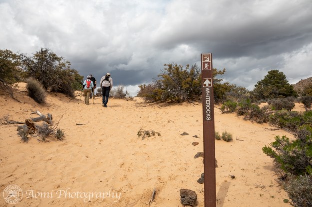
 雨が降りそうで降らない、雲の変化が激しい日でした。途中で振り返ると、渓谷の景色が広がります。 – The cloud formations in the sky changed a lot from sunny to almost rain but it made our hike more interesting. A gorgeous view spread out in front of us when I looked back.