11.3km の行程、397m の高度差。ネバダ州にあるヴァレーオブファイヤー州立公園に行ってきました。 7 miles and 1,300 feet of climbing. We went to Valley of Fire State Park in Nevada.

トレイルはないので、ハイクリーダーの記憶に頼るのみです。 We didn’t walk on a trail. So we followed our hike leader who went entirely by memory.

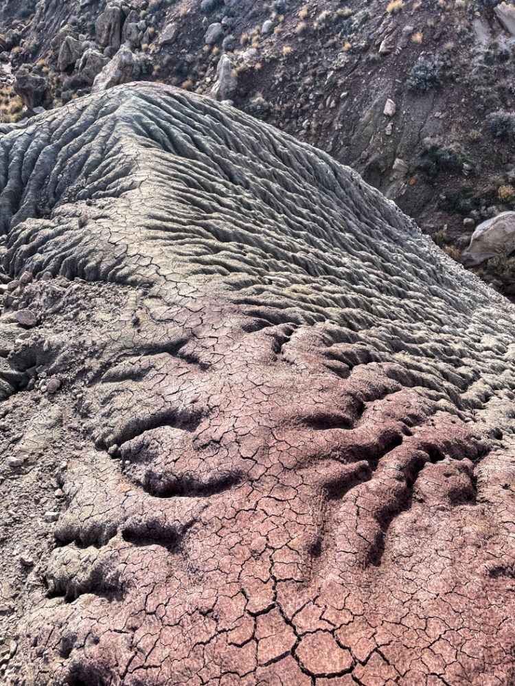
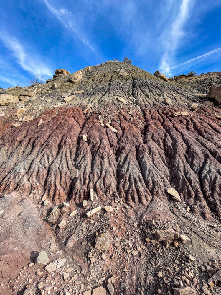
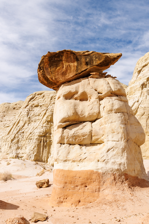
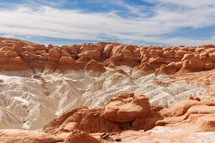
公園の名前を直訳すると、燃える谷です。飛行機の上から見える眺めは、まさに燃えているように赤い。 The name of the park is Valley of Fire. You can see the red section, like a fire, even from an airplane.

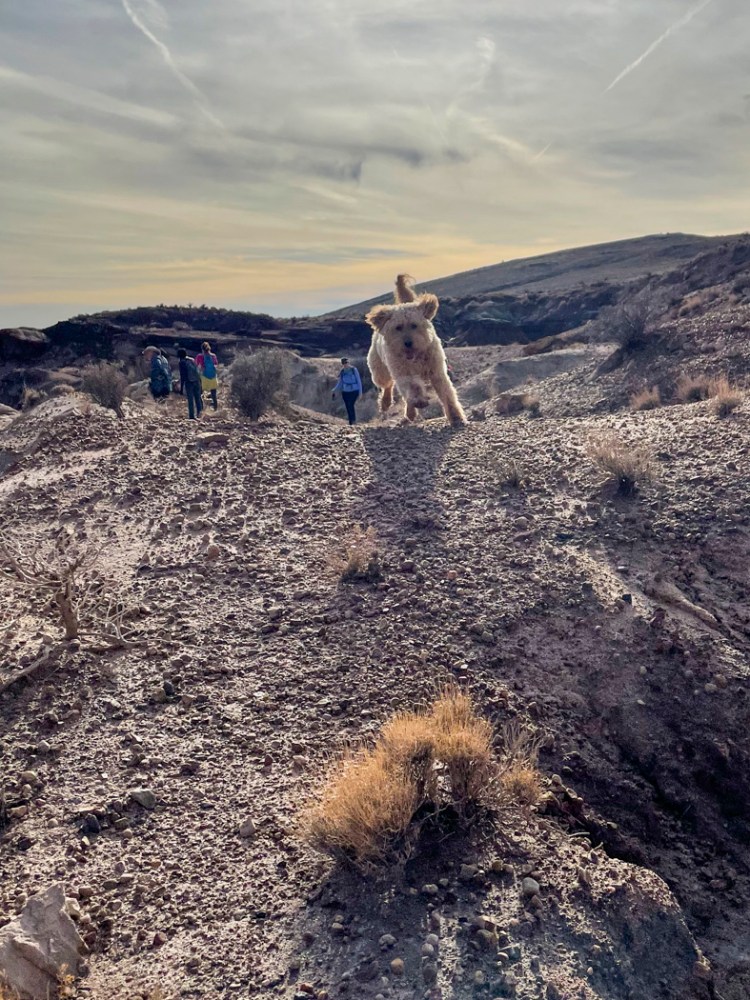
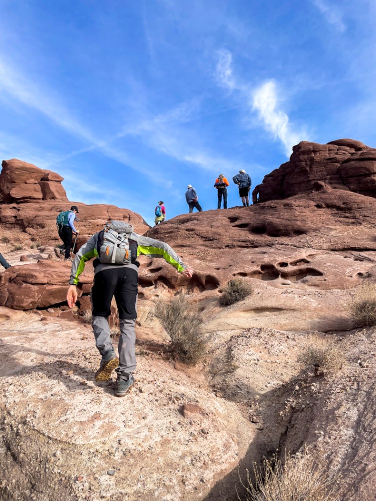
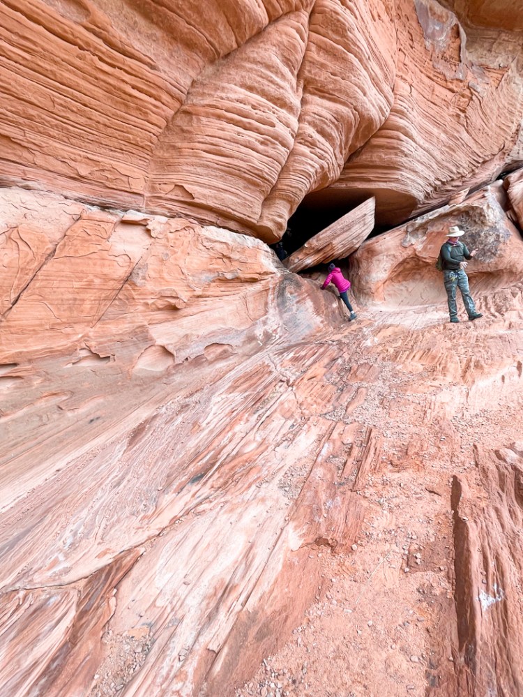
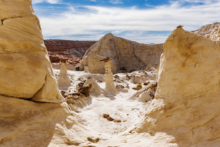
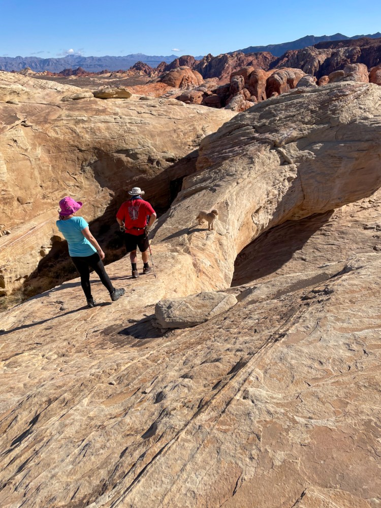
そんな中の荒地や岩を登ったり降りたり繰り返しました。 We hiked up and down so many times in this wild place.

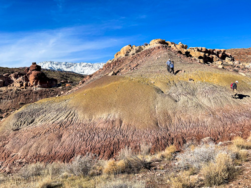
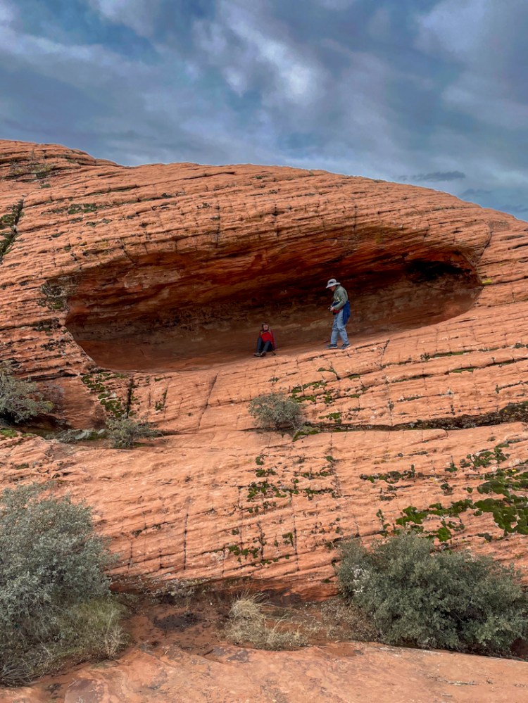
バンちゃん達は、違うルートを選びました。豆粒のように見えるのが彼らです。 Some members of the hiking group, including Banchan, took a different route. They can be seen as two dots in the picture below.

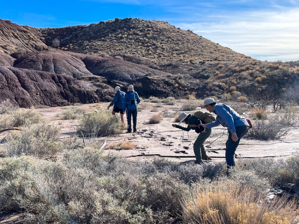
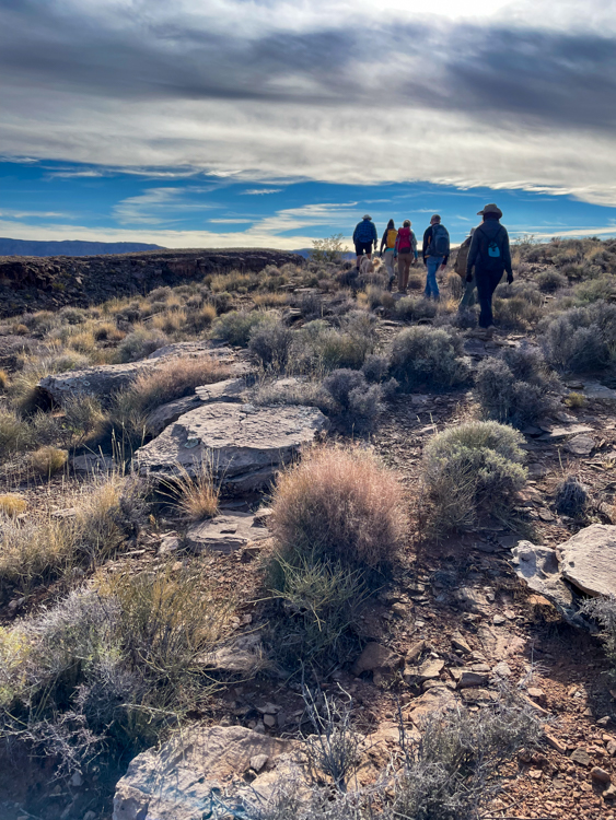
まだまだ目的地は遠い。 The destination is still far.

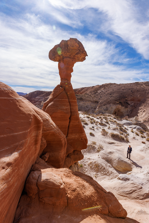
ついに見えました。バンちゃんが立っている、向こう側の岩の上が私たちの目的地です。 But finally we could see the destination rock. Banchan was already standing near the arch rock. Can you see the dot on it?

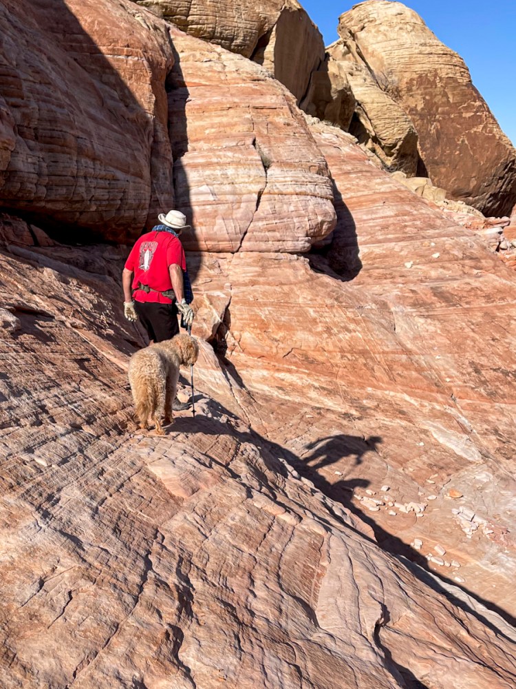
再び岩を降り、最後の登りです。 Again, we went down rocks, and went up the last rock.

そして、着いた! Whew, we made it!
ここがトップオブザワールドと名付けられたアーチです。 This is the our destination, Top Of the World Arch.

このアーチの奥には、ジオキャッシングの箱がありました。(注:詳しくはこのサイトを参照) We found a geocache in the back of the arch.

せっかくここまで来たので私もアーチの上を歩いてみました。いい眺め! I walked on top of the arch as well. It was a great view.
しばしの休憩の後、さあ、下山です。 After a short break, we descended from the top.
急な斜面をトラバースしながら少しづつ降ります。 We traversed ridiculously steep slopes slowly.

平地に降りて振り返ると、絶壁のような岩壁がありました。ハイクリーダーがいなかったら、絶対にできなかったハイキング。でも、できた! When I looked back after we came down, I saw an impossible cliff that we just traversed. I could never have done this hike, going up down so steeply, without our hike leader. But we did it!!!