夜空の写真を専門に撮る写真家さんとは違うので、私たちは基本のカメラ設定で、ブライアンヘッドでの2回目の夜空の写真を試してみました。 Not being photographers who specialize in night sky photography, we used our basic camera settings to attempt our second night sky photo at Brian Head.

基本のカメラ設定は4つあります。 There are four basic camera settings for night sky photography.
一つ目は、シャッタースピードをマニュアル操作できる「バルブ(BULB)モード」にすること。そうすることで、暗い夜空を4秒から10秒ぐらいまで自分で時間を数えて調整できます。 The first is to set the shutter speed to BULB mode, which can be manually controlled. By doing so, you can count and adjust the time from 4 to 10 seconds in the dark night sky.
二つ目、F値は状況に合わせて、どれだけの深海度が欲しいのかで調整します。星だけだったら、絞りを目一杯開けておくといいと思います。 Second, the F value should be adjusted according to the situation and how much depth of field you want. If it’s just stars, you should leave the aperture as wide open as you can.
三つ目、ISO設定は大切です。当然ISOの数値が低いほど写真の質が良くなります。でも、夜空はとても暗いので、許せる限り数値を上げないと、シャッタースピードが1分以上必要になるかもしれません。三脚にカメラを設置して、シャッターリリースのケーブルをつけていれば手ブレはありません。だからシャッタースピードが1分でも10分でも良さそうです。でも、カメラが設置してある地球は動いています。だから10秒もカメラの目を開放していると、すべての星が点でなく、線になって撮れてしまいます。そこで、スピードはせいぜい10秒以内に収めたいわけです。 Third, the ISO setting is important. Naturally, the lower the ISO number, the better the quality of the photo. But the night sky is so dark that you may need more than a minute of shutter speed if you don’t raise the ISO number as high as you can allow. If the camera is on a tripod and the shutter release cable is attached, there will be no camera shake. So a shutter speed of 1 minute or even 10 minutes looks good. But the earth on which the camera is mounted is moving. So if you keep the camera’s eye open for 10 seconds, all the stars will be captured as lines, not dots. So you want to keep the speed within 10 seconds at most.
これでカメラの設定が90%できました。 Now the camera is 90% set up.
四つめ、暗くなったら、最後の設定をします。オートフォーカスをマニュアルに切り替えて、輝き始めた星、または月にカメラを向けてピントを合わせます。「はるか彼方の星なんだから無限大にしておけばいいジャン?」と、昔は思っていました。でも、違います。ほとんどのレンズの無限大設定は正確ではなく、「無限大」より遠くはフォーカスできないらしいです。だから自分でじっくりと焦点を合わせなければいけません。 Fourth, when it gets dark, make the final setting. Switch the autofocus to manual, point the camera at the star or the moon as it begins to shine and focus. I used to think, “Since it’s a star so far away, why not just set it to infinity?” But that’s wrong. That’s because most lenses infinity marker is not accurate and can be focused beyond infinity. So focus carefully.

さて、これで完了です。空がどんどん暗くなるのを待つのみです。 Well, that’s it. We just have to wait for the sky to get darker and darker.
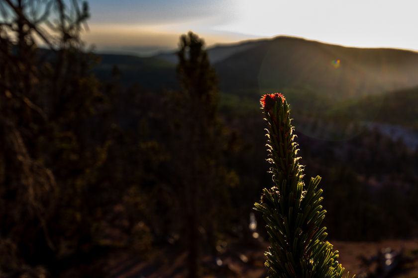
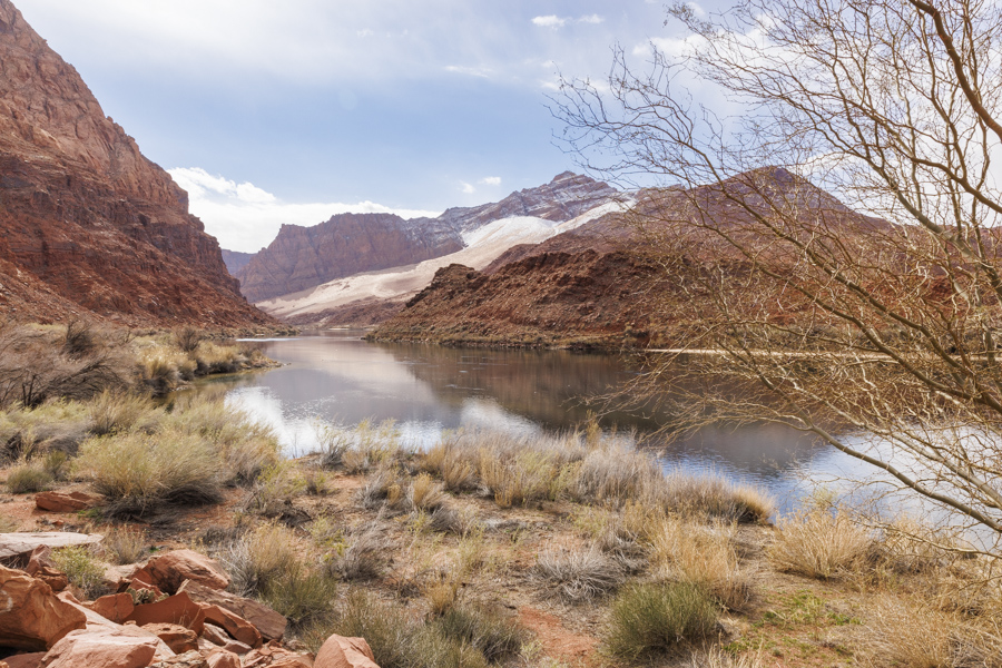
私にとって、夏の夜空はわかりやすいです。天の川が南から北に流れているからです。南端にはさそり座がいます。バンちゃんの上に見えます。(右下の赤くぼやけているのが彼です。)わかりやすくペンで線を引きました。 For me, the summer night sky is easy to understand. This is because the Milky Way flows from south to north. At the southern end is the constellation Scorpius. You can see it above Banchan (the red smudge at the bottom of the photo). I drew a line with a pen for clarity.

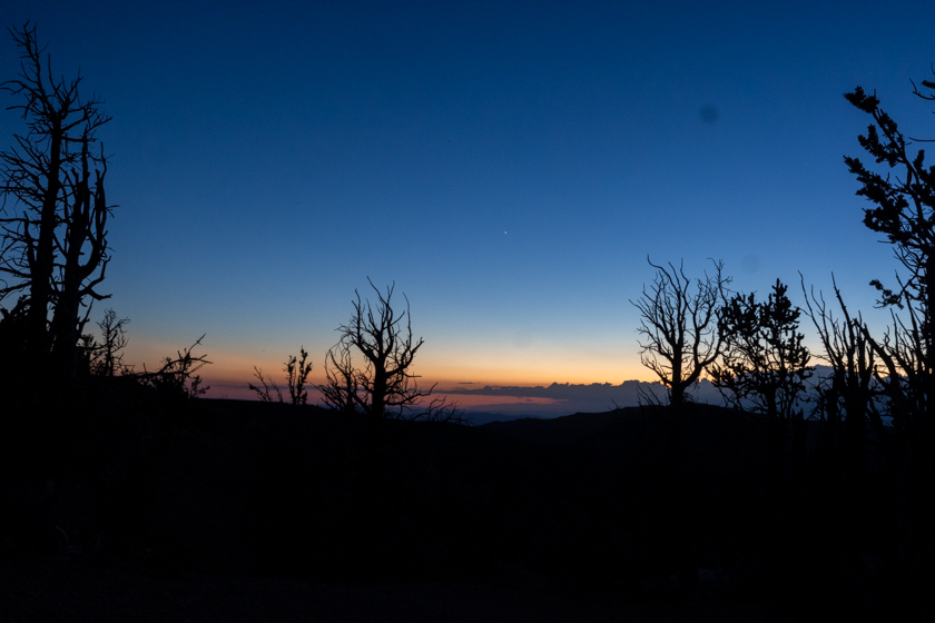
空気が綺麗で邪魔な光がない場所では、星がたくさんありすぎて星座の判別が逆に難しくなります。また、それをカメラで捉えると、ますますわかりにくくなります。 In a place where the air is clean and free of obtrusive light, the sky is full of many stars scattered everywhere, making it conversely difficult to discern the constellations. The camera makes this even worse.
例えば、こちら、北に近い東の空に見える天の川です。ここには私の好きなはくちょう座が天の川の上を気持ちよく飛んでいますが、見えますか?判別できる人は、結構星座に詳しい人です。 For example, here is the Milky Way visible in the eastern sky near the north. Here, my favorite constellation Cygnus is flying comfortably above the Milky Way, can you see it? If you can identify it, you are quite familiar with constellations.

ここには夏の大三角形と呼ばれる一等星があるので、それが見つかれば、はくちょう座がどこかわかります。以下、同じ写真に線を引きました。 There is a first-magnitude star here called the Summer Triangle, so if you can find it, you know where Cygnus is. Below is a line drawn on the same photo.

三角形の左下がはくちょう座の尻尾です。翼を大きくひろげ、首を長くして南方に飛んでいく美しい鳥の姿が見えますか? The lower left of the triangle is the tail of Cygnus. Can you see the beautiful bird flying south with its wings spread wide and a graceful, long neck?
追記:このサイトの記事の最初のイラストはこの夏の大三角形の星座を綺麗に描いています。 https://starwalk.space/en/news/summer-triangle-asterism
PS: The first illustration in the article on this site nicely depicts the constellations of this summer’s great triangle. https://starwalk.space/en/news/summer-triangle-asterism